
What we fly
Distribution inspections are the core of the business. Everything else uses the same cameras, the same pilot, and the same no-nonsense reporting.
Distribution line & pole inspections
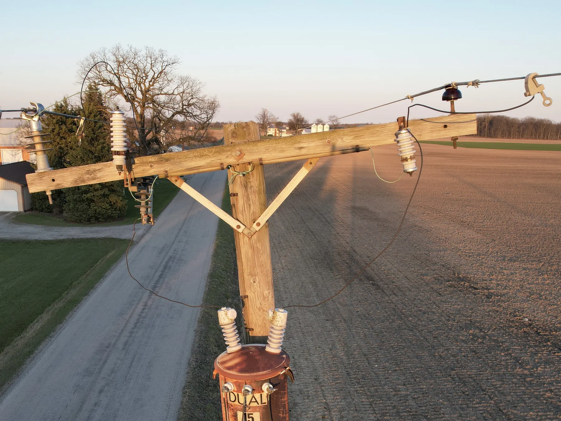
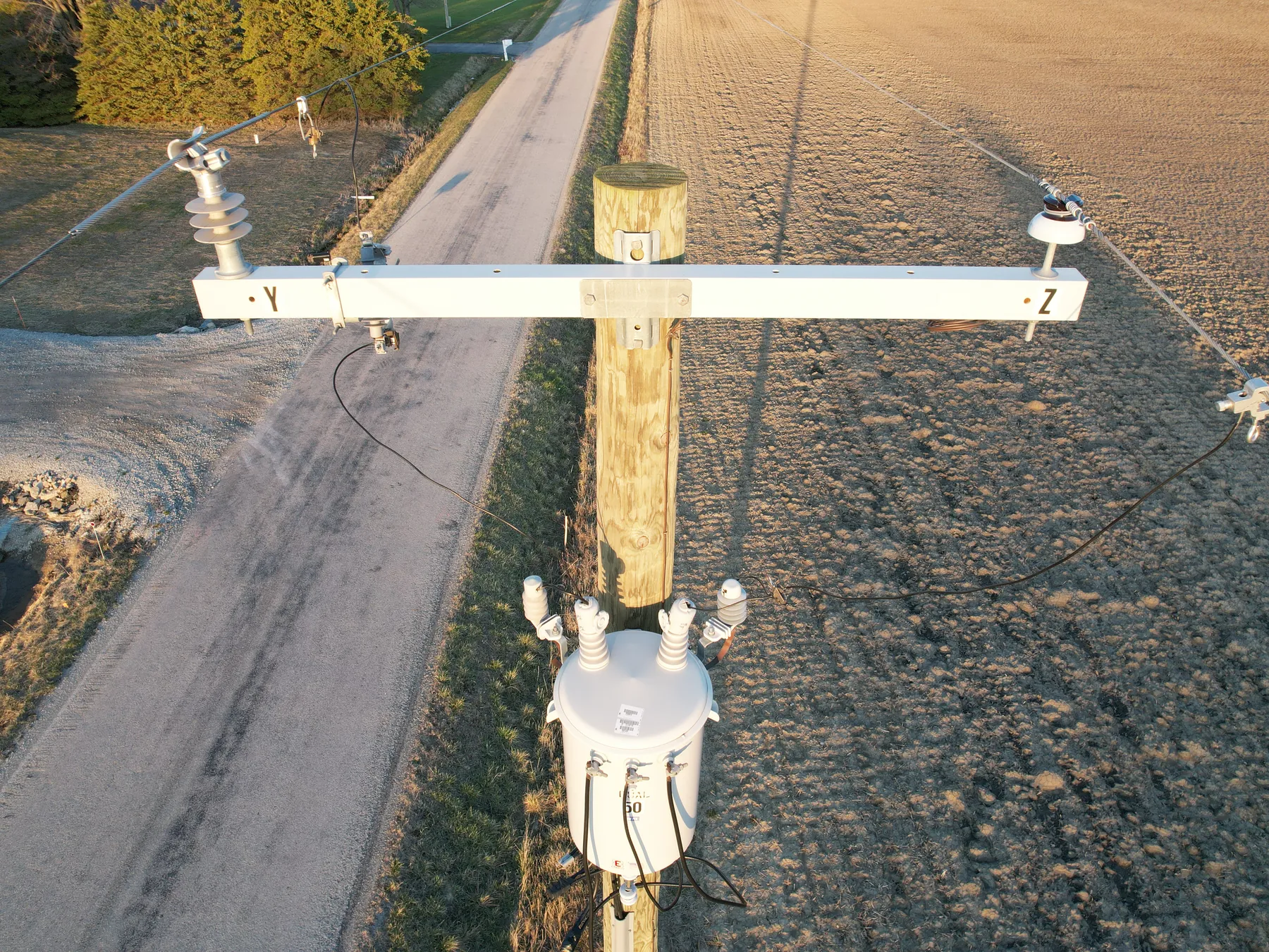
This is the main thing we do. We fly your distribution circuits and get high-res visual and thermal images of every pole top, then go through them for problems that don't show up from the ground.
- Pole-top rot, split or damaged crossarms
- Loose, corroded or failing hardware
- Cracked or damaged insulators
- Thermal hot spots on connections and equipment
- Prioritized defect list, worst first, with GPS coordinates for every find
- GIS-ready deliverables for your mapping system
- AI-assisted defect detection, with every flag reviewed by a person
Proof: on a recent inspection, 6 of 7 pole tops failed. None of it was visible from the ground.
Request a pilot circuit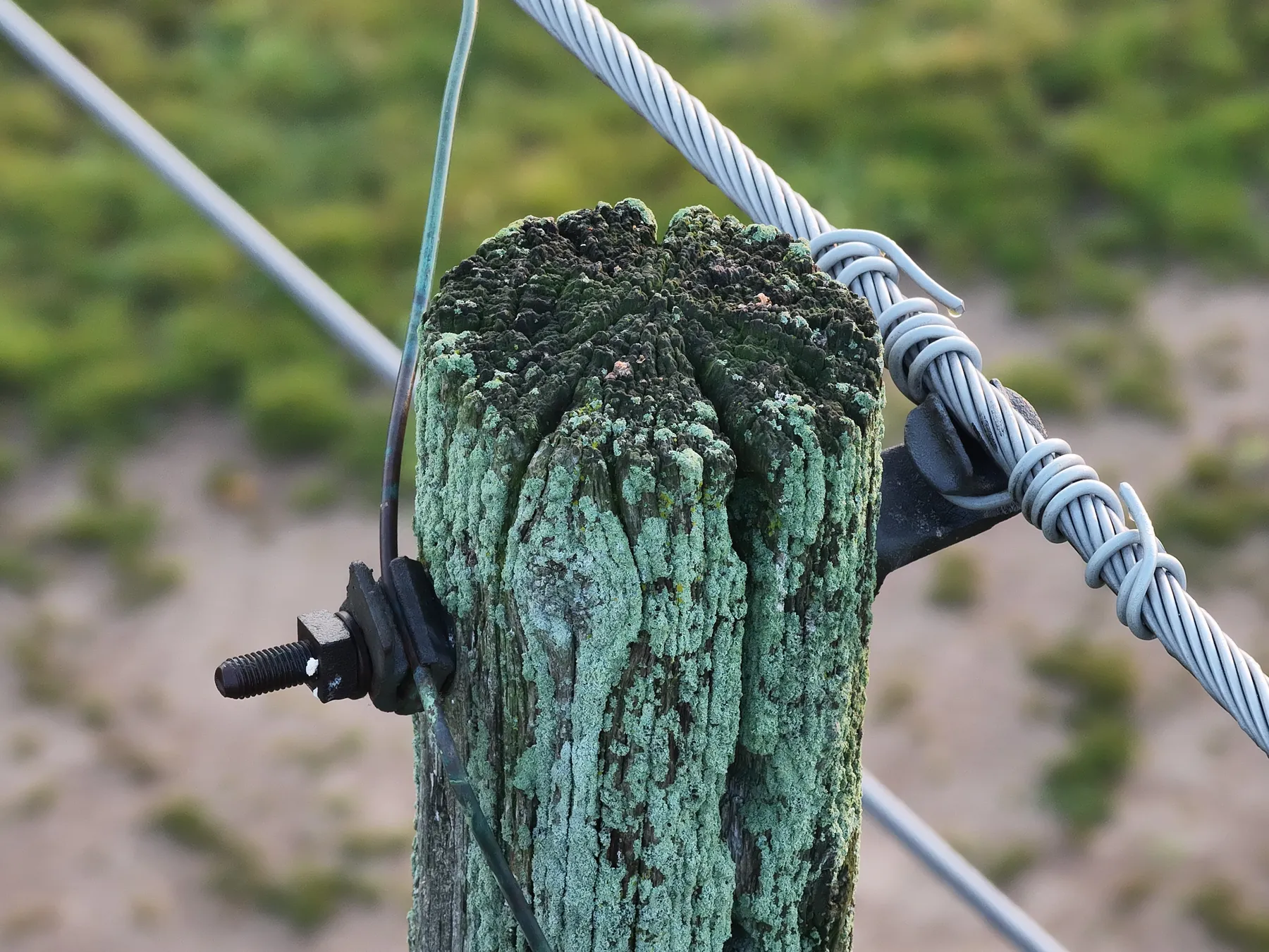
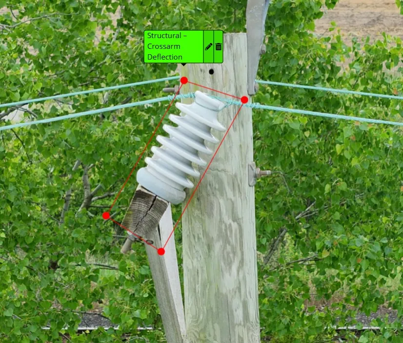
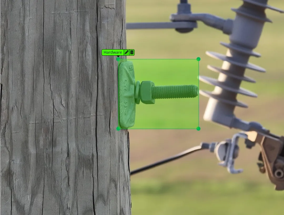
AI-assisted findings. Every flag gets reviewed by a person before it goes in the report.
Substation mapping & inspection
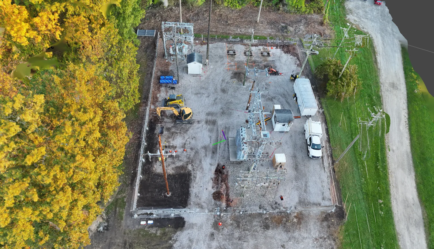
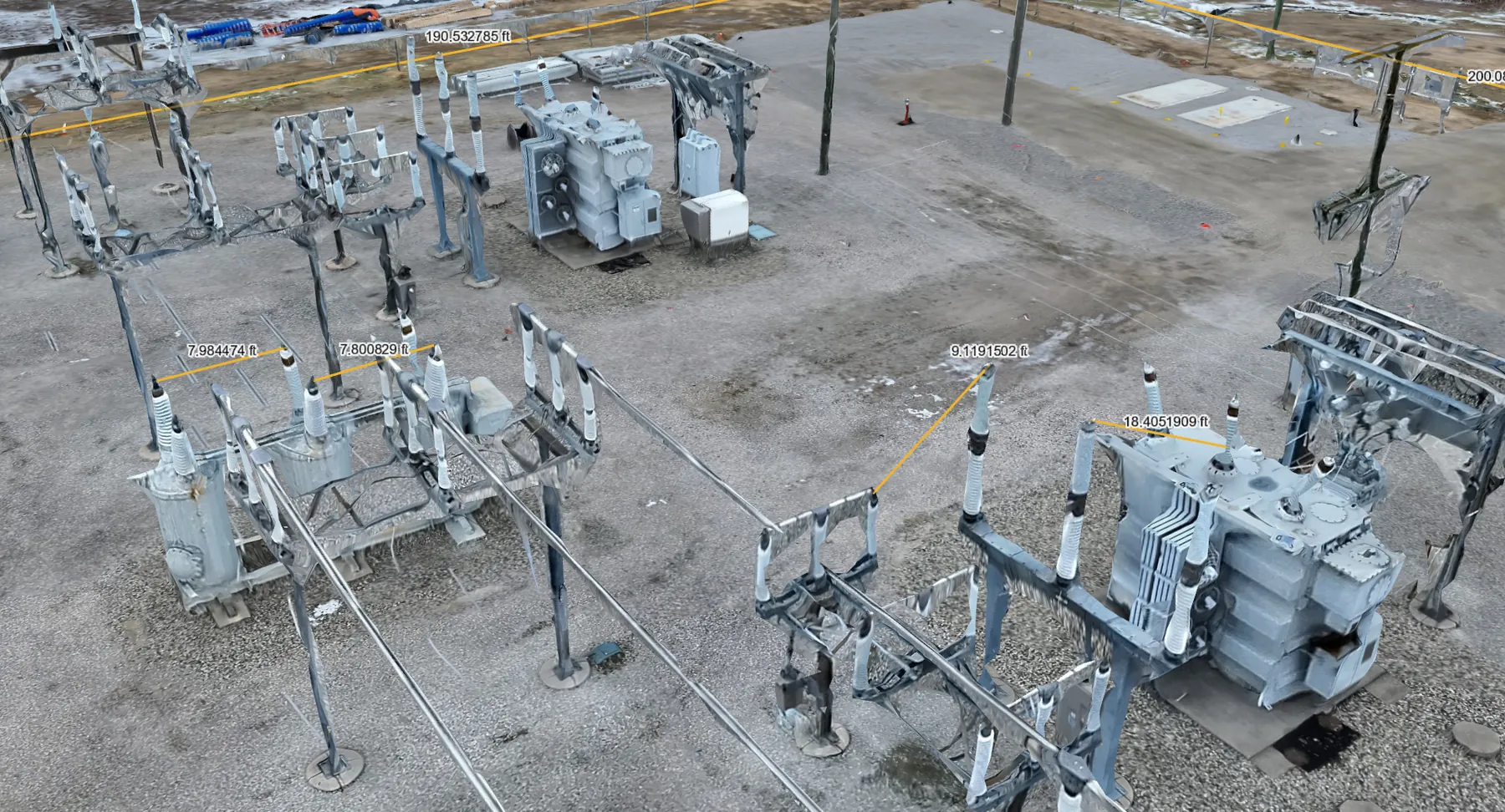
Overhead imagery and mapping of substation yards, with visual and thermal coverage of equipment. Good for documenting current conditions and spotting heat problems early.
- Aerial mapping of the yard
- Visual and thermal inspection of equipment
- Deliverables you can hand to engineering or planning
Contractor work QC spot checks
When contractors finish a job, a quick flight tells you whether the work matches what was billed. Useful for utilities checking contractor work, and for line contractors who want to check their own crews before handoff.
- Spot checks on completed work
- Photo documentation tied to locations
- Fast turnaround so issues get fixed while the crew is still nearby
Dam & hydro inspections NEW
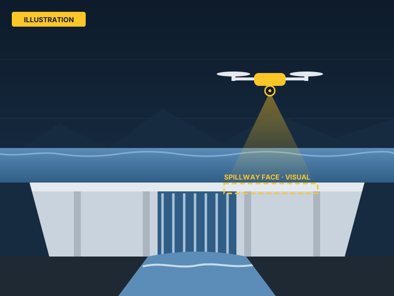
A newer service for us. Close-up visual inspection of dam faces, spillways and hydro structures without rope access or boats for the first look.
- Visual documentation of hard-to-reach structures
- Location-tagged imagery for follow-up
- Repeatable flights for comparing conditions over time
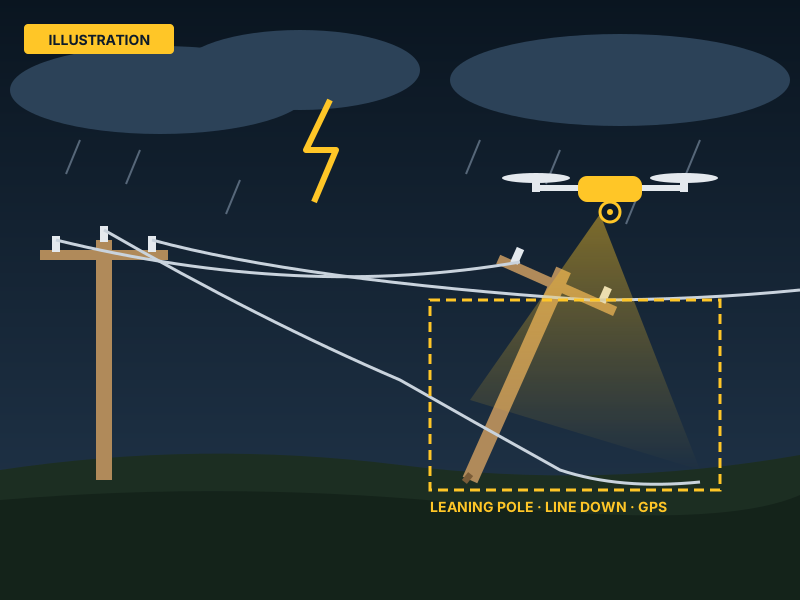
Storm response
After a storm, you need to know where the damage is before you send crews. We deploy 24/7 to assess damage fast, and the emergency line is the same number as the office.
- 24/7 rapid deployment
- Damage assessment imagery with GPS locations
- Call (734) 770‑8830 any time
Your inspection photos, on a map
Your inspection photos go into the GridView client portal. Log in and see your system the way the drone saw it.
How access works: tap “Request access,” and GridView approves it and sets up your company.
- GridView pilots upload the drone inspection photos
- GPS in each photo places it on an interactive satellite map
- Browse your inspection photos by territory and circuit, filtered by severity and date
- See flagged issues like cracked insulators or vegetation contact
- Each utility sees only its own company's data
- Installs on your phone like an app
Try us on one circuit
New utility partners get a discounted pilot circuit. Pick a stretch you're worried about, we fly it, and you get the full report. If it's not useful, you're not out much.